



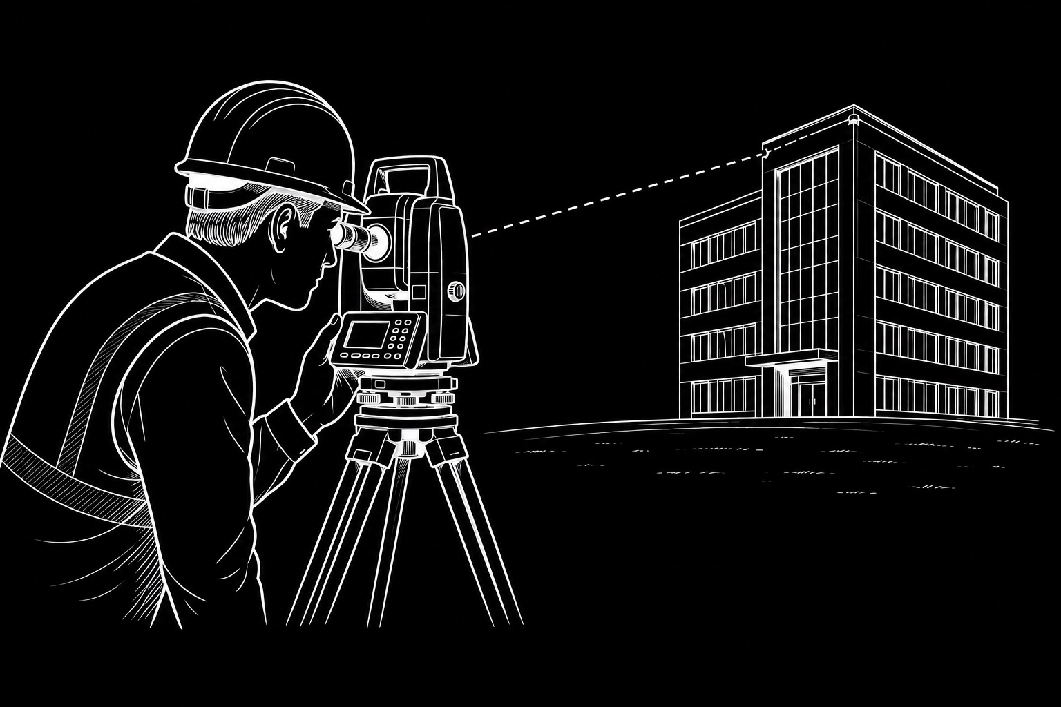
Total Station Surveying
Setting-out, control, as-built survey and high-precision construction measurement.

Professional high-precision land surveying in Malta, reality capture and spatial documentation for construction, architecture and complex engineering projects.
Precision field measurement combined with modern geospatial and reality-capture technologies.
Setting-out, control, as-built survey and high-precision construction measurement.
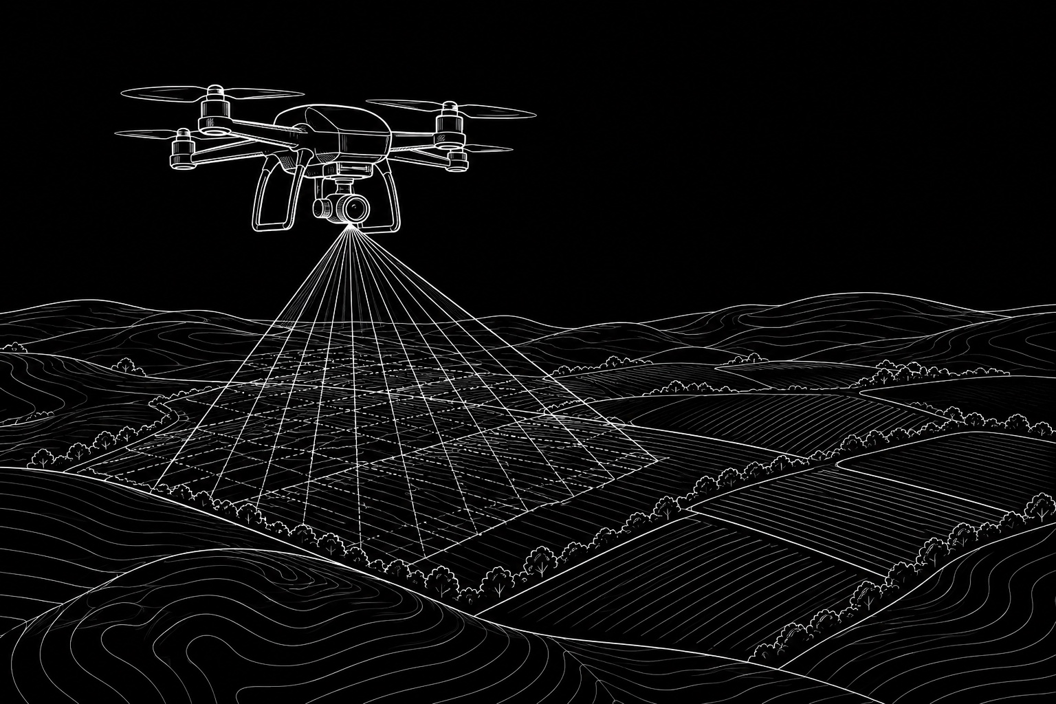
Photogrammetry, orthophotos, terrain models and wide-area aerial documentation.
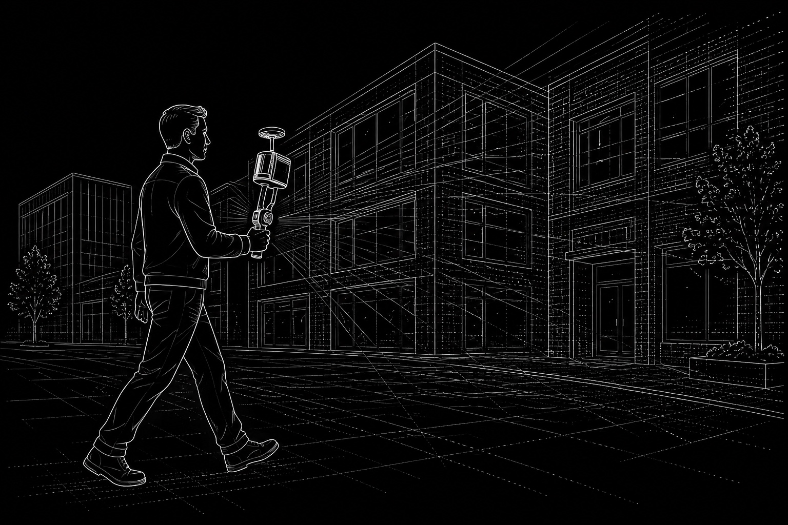
Mobile SLAM LiDAR capture for point clouds, buildings, interiors and complex geometry.
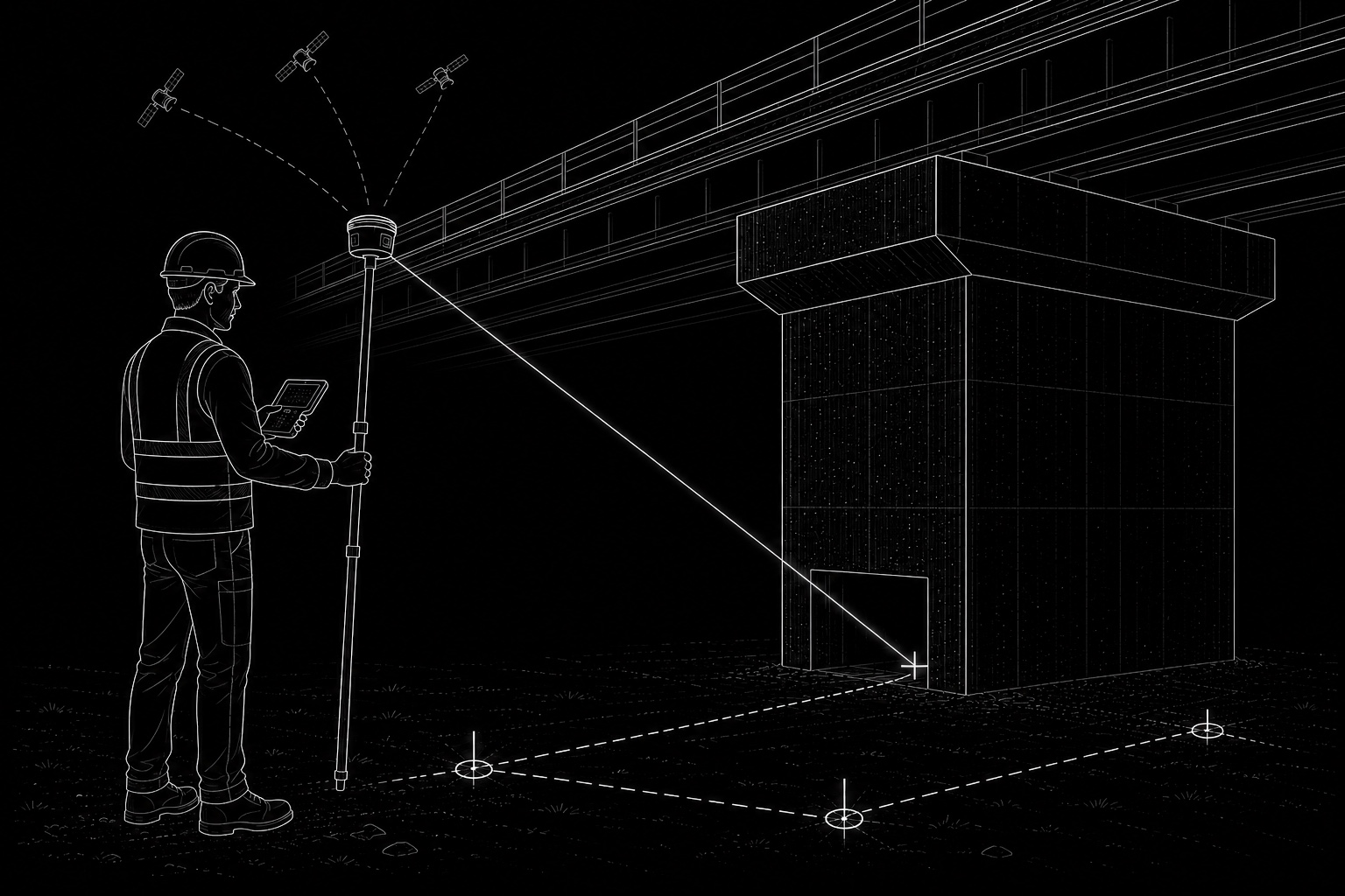
High-accuracy RTK GNSS positioning, control-point establishment and georeferencing of surveys, point clouds, imagery and spatial datasets within the required coordinate reference system.
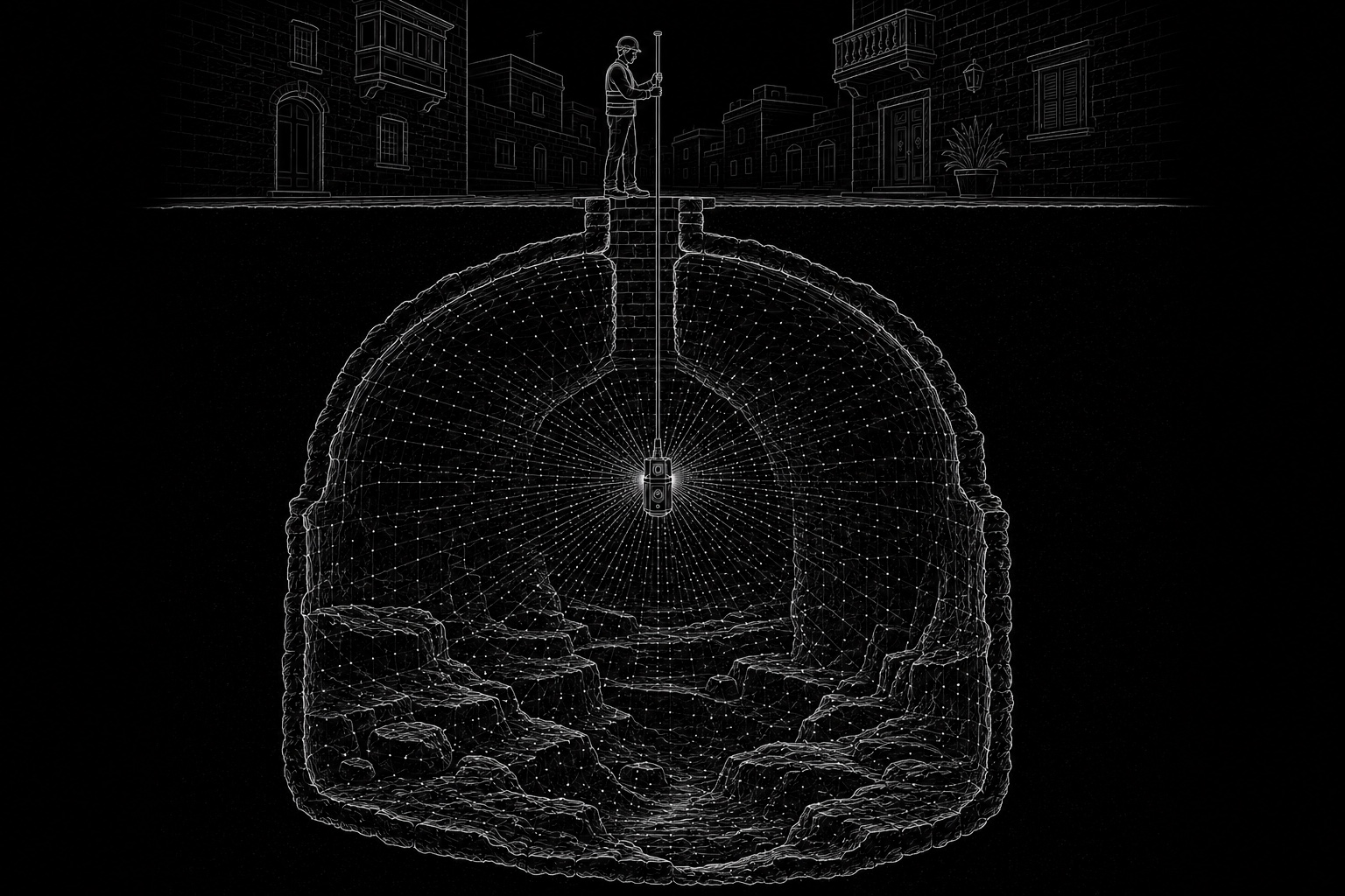
3D documentation of wells, cisterns, shafts and other difficult-access underground voids using remotely positioned scanning equipment to capture geometry where conventional surveying is impractical.

Immersive photorealistic 3D captures and navigable panoramic experiences created from buildings, interiors, heritage objects, statues, sites and other real-world subjects.

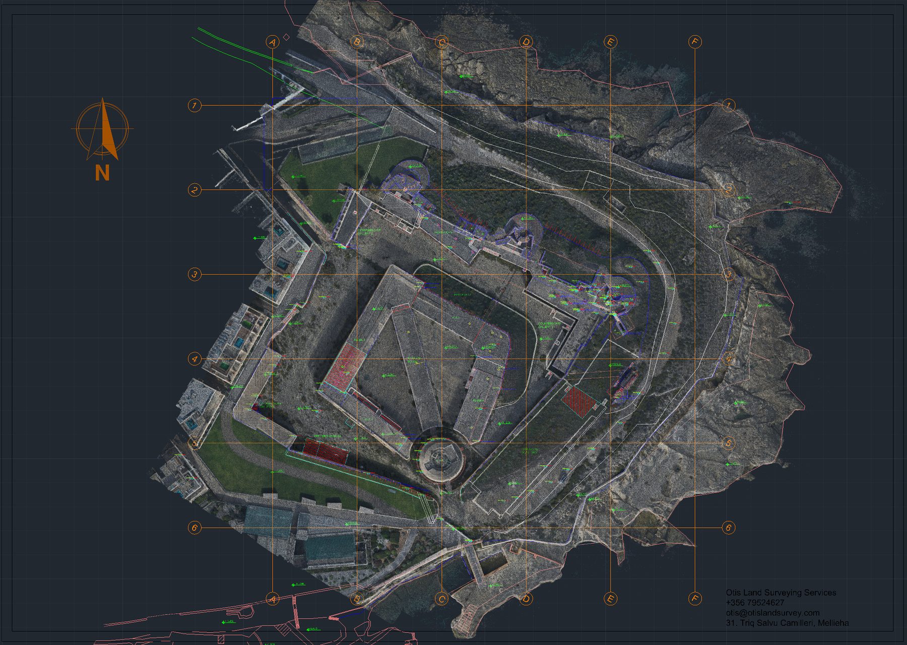
Professional processing and conversion of survey data into CAD drawings, technical PDFs, sections, plans, elevations and structured 3D point-cloud deliverables for design, documentation and engineering workflows.
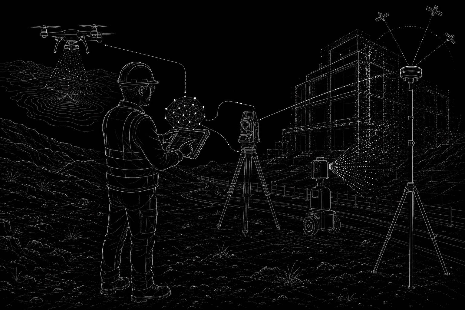
Deployment of advanced robotic total stations, high-precision GNSS, LiDAR scanners, drones and modern reality-capture systems to achieve reliable, efficient and highly accurate measurement across demanding projects.
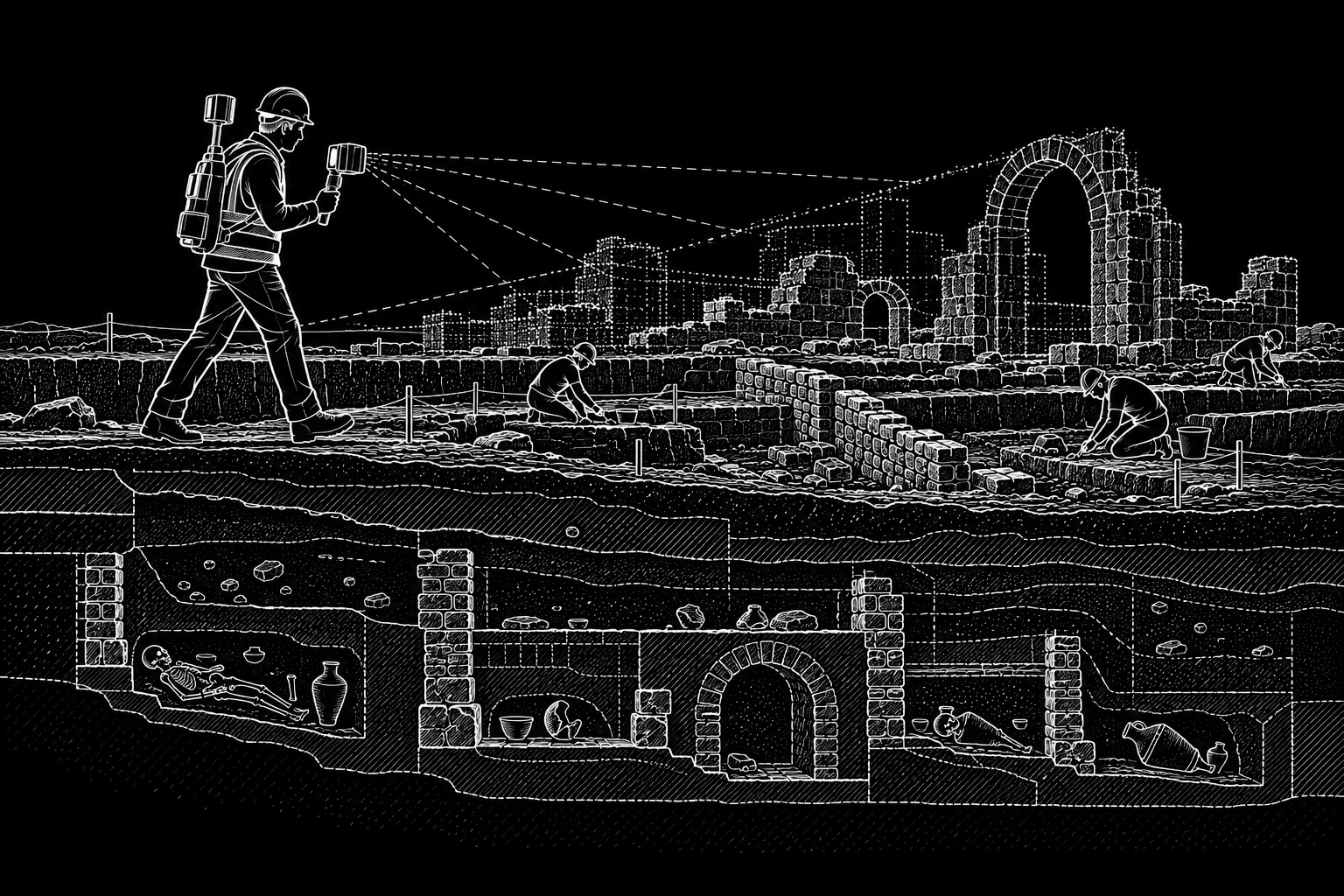
High-resolution archaeological surveying and reality capture to document and preserve millimetre-level site detail, geometry, structures, finds and excavation stages for accurate heritage records and future analysis.
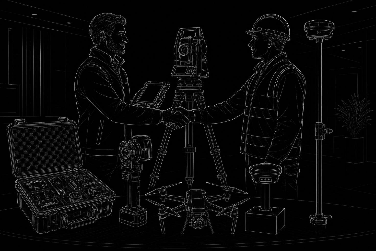
Professional support in selecting, understanding and sourcing high-end surveying equipment, including total stations, GNSS systems, laser scanners, drones and reality-capture tools — with practical guidance tailored to real project needs, budgets and workflows.
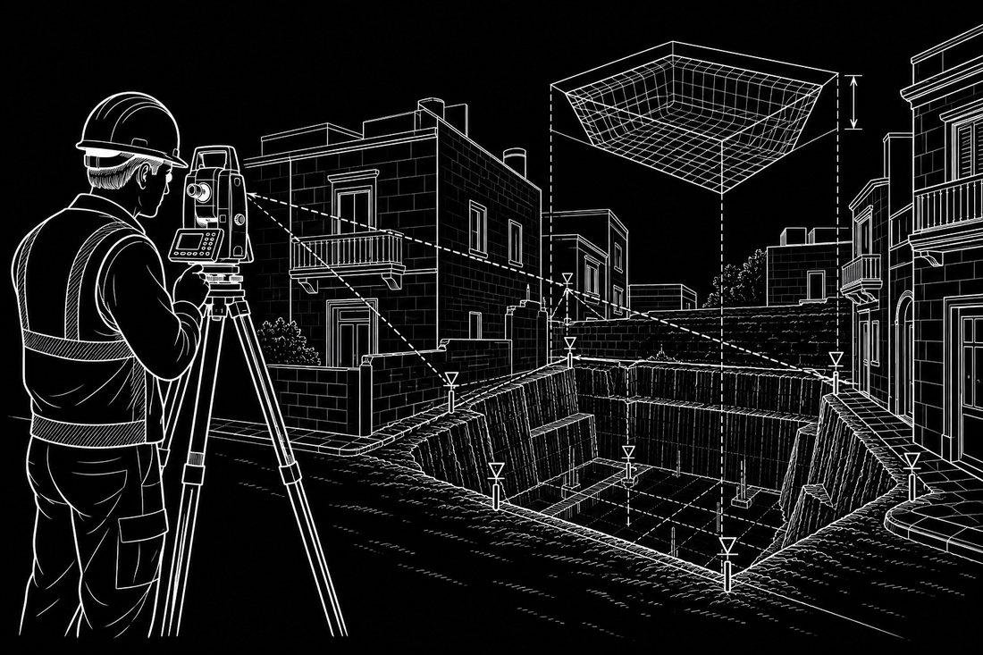
Accurate pre- and post-excavation surveys using robotic total stations or LiDAR scanning to calculate excavated volumes, cut-and-fill quantities and material movement for foundations, earthworks, valuation and payment verification.
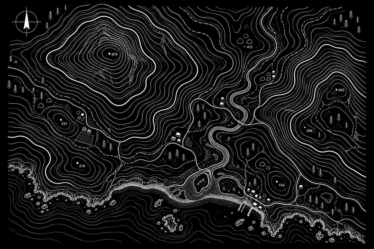
High-precision topographic surveys capturing terrain, levels, structures and site features for design, planning and engineering documentation.
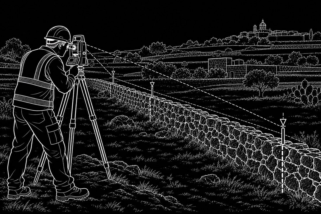
High-precision verification and setting-out of property limits, corners, wall lines and site reference points using geodetic control, GNSS and total-station measurement for clear, repeatable on-site positioning.
Independent land surveying experience across major infrastructure, high-rise construction, engineering and reality-capture projects in Hungary and Malta.
Precision is not only the final number — it is the complete process behind a measurement that can be trusted.
My work combines more than a decade of field experience with high-end surveying instruments and modern digital workflows. I use robotic total stations, high-precision GNSS, LiDAR, drones and reality-capture technologies to deliver accurate, repeatable and practical survey data for construction, engineering, architecture and complex site documentation. I have been officially registered and operating as a land surveyor in Malta since February 2019.
A concise portfolio of completed surveying and reality-capture work.
Precision control, façade and structural setting-out on complex multi-storey projects.
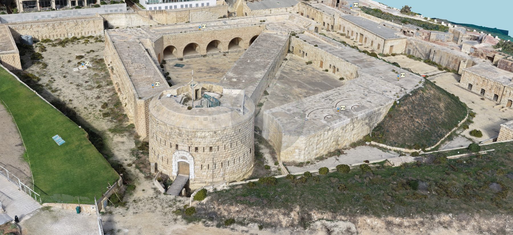
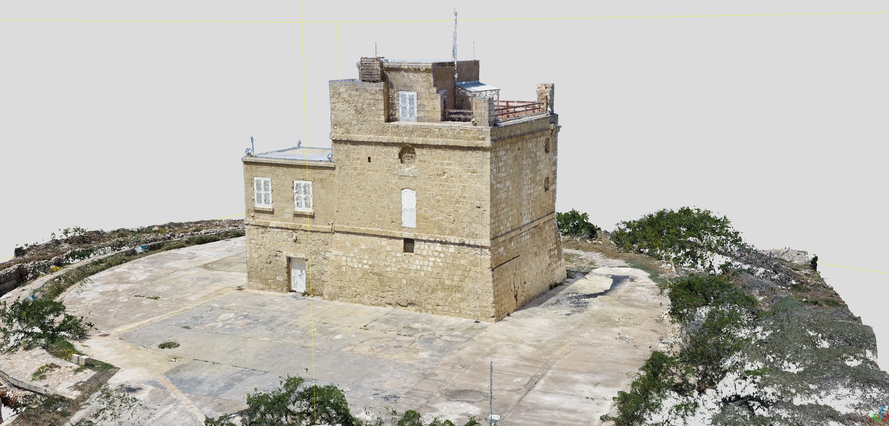
LiDAR and image-based capture for measurable point clouds and digital project records.
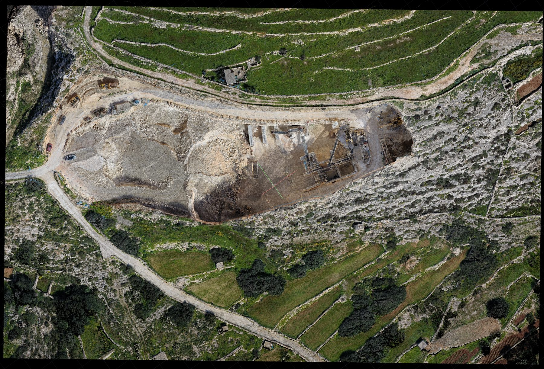
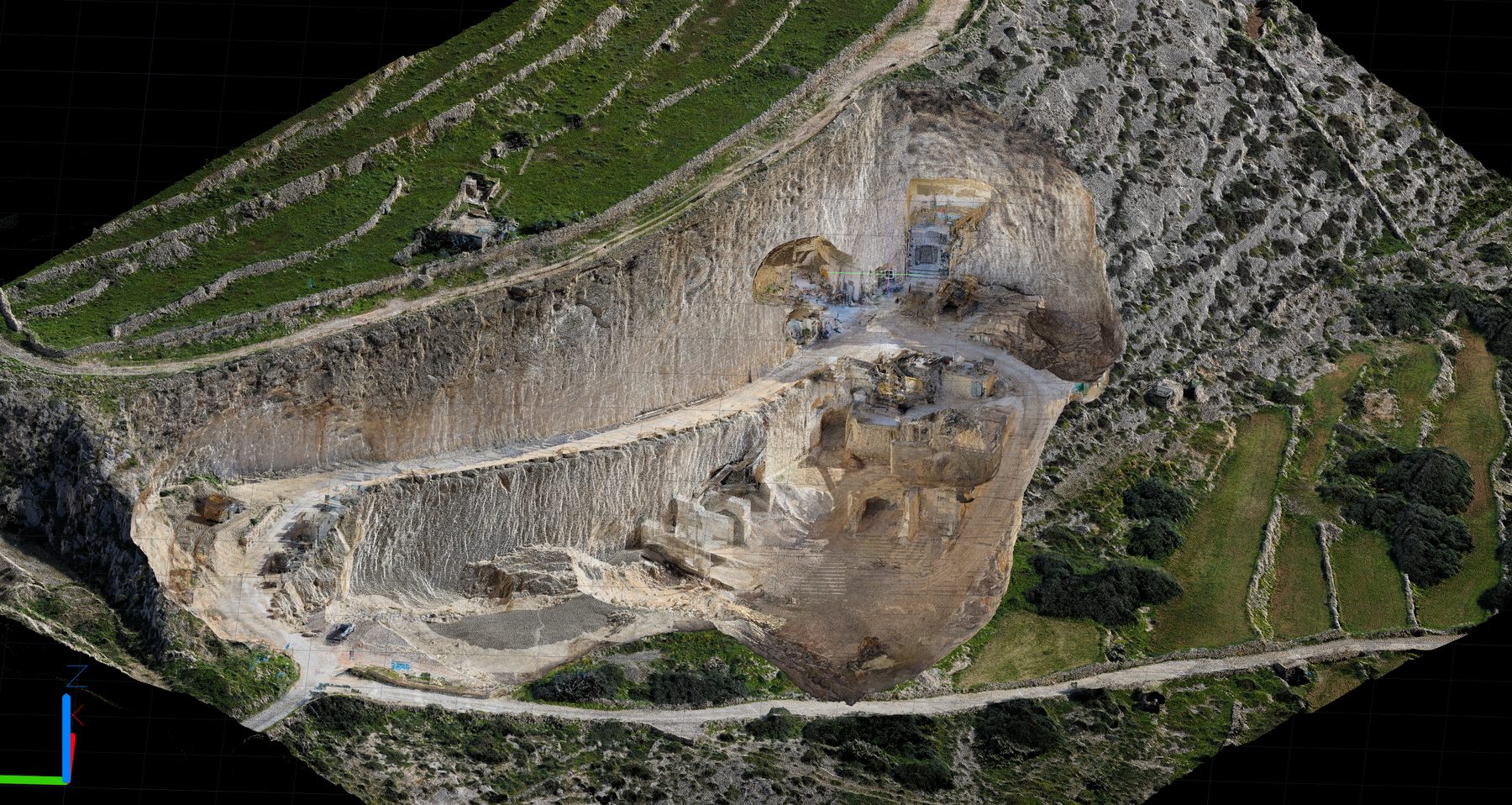
Orthophotos, terrain models and spatial datasets for larger sites and difficult-access areas.
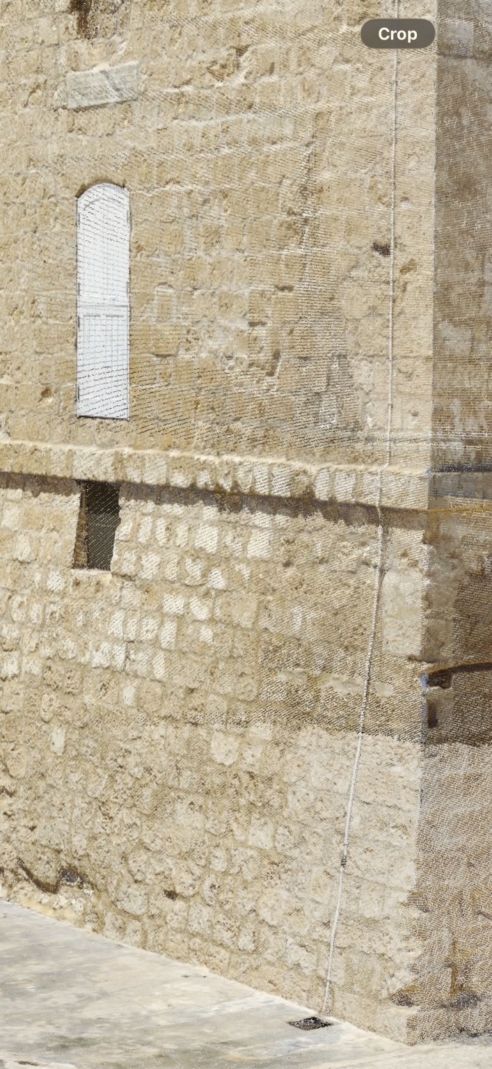
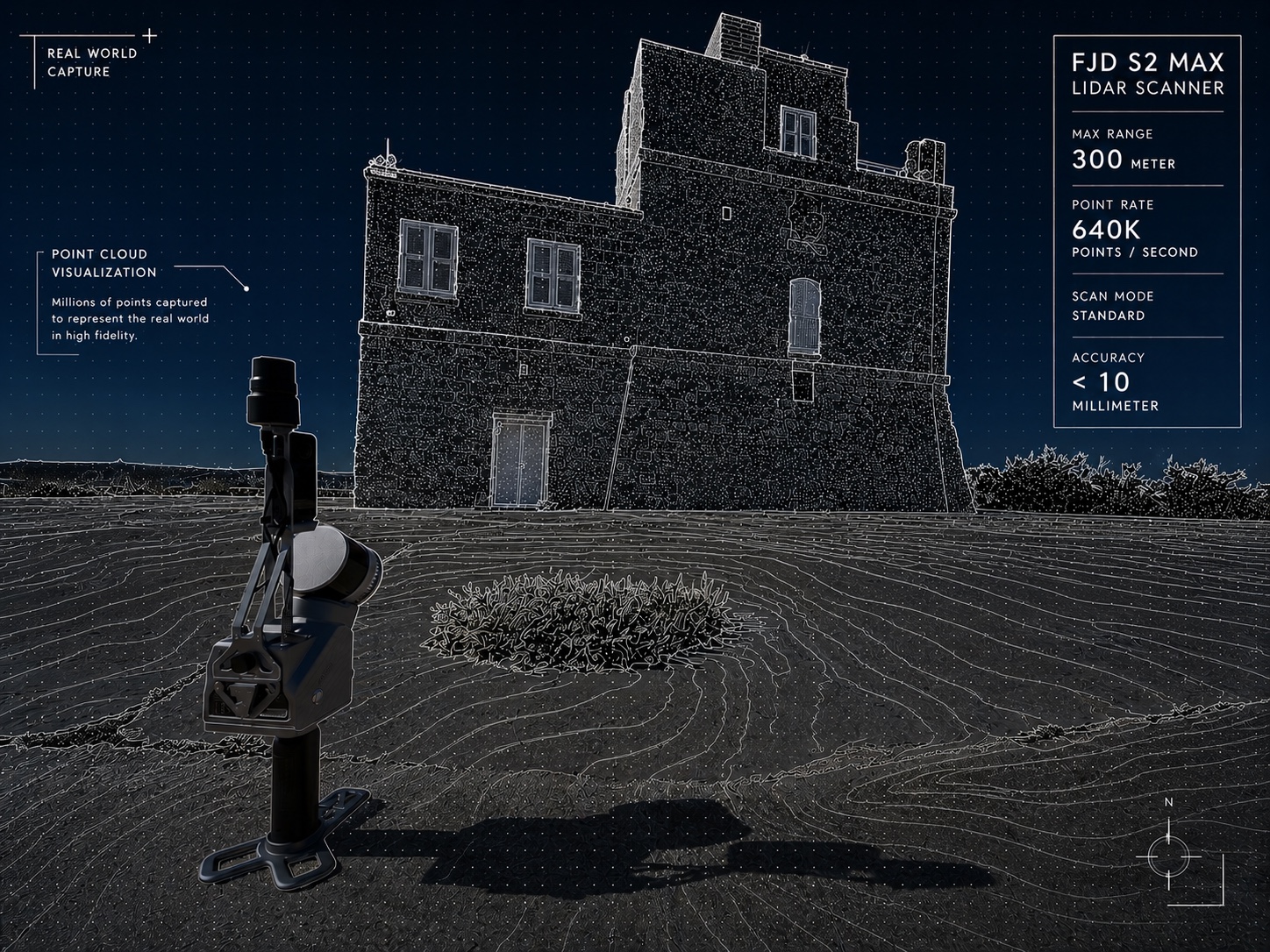
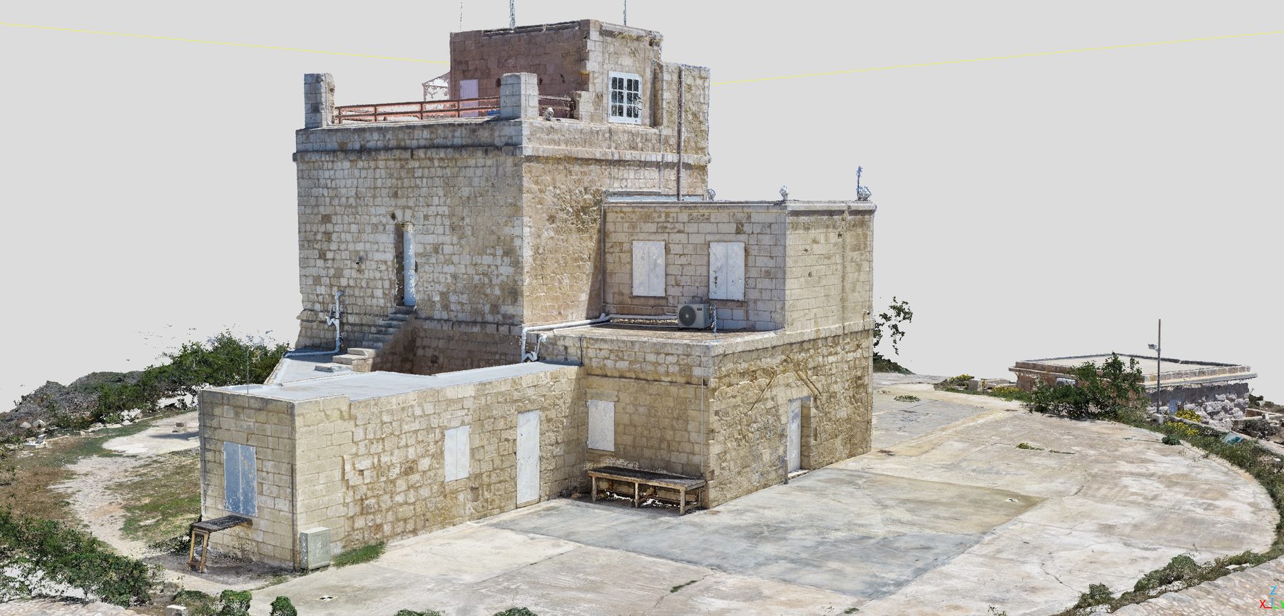
Professional internal and external LiDAR reality capture of the Red Tower, combining detailed geometry acquisition with high-density spatial documentation.
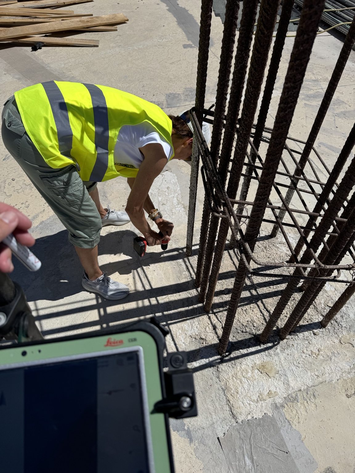
Setting-out and survey control for the construction of an agricultural building, with accurate position, level, and execution verification throughout the works.
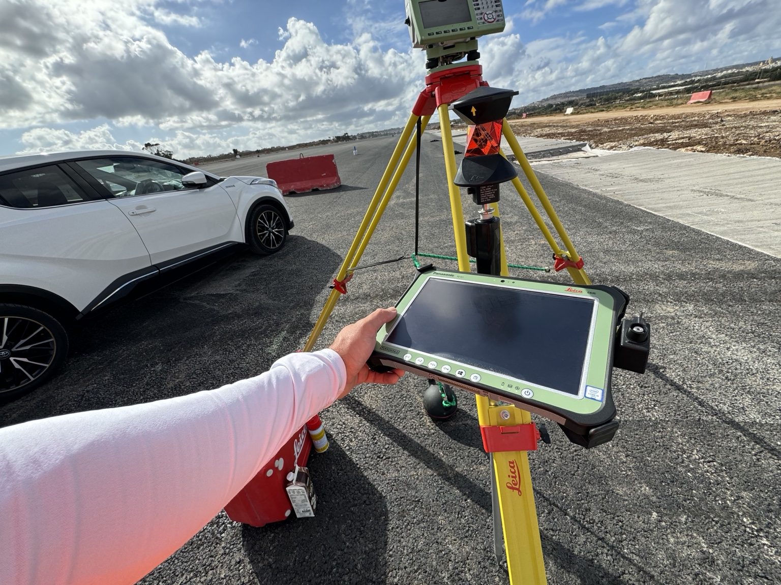
Surveying support for the new runway expansion works at Malta International Airport, including control, layout guidance, and spatial verification on site.
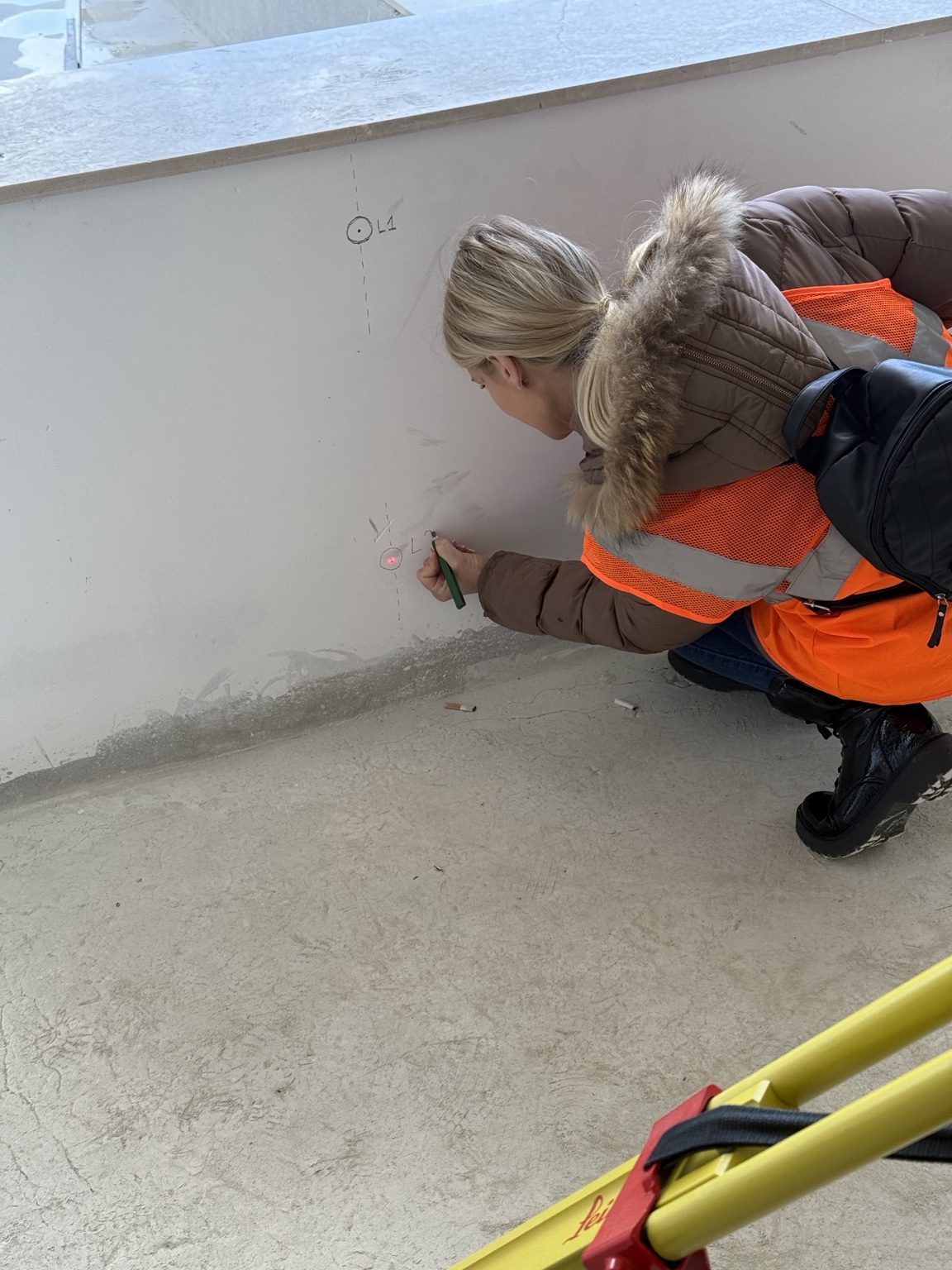
Precision surveying for late-stage finishing and fine-detail execution at Mercury Tower, supporting high-tolerance construction and final alignment checks.
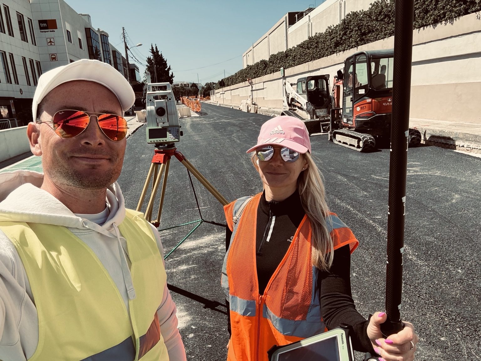
Survey documentation and field support for highway-related infrastructure projects in Hungary, focused on reliable geometry, control, and construction accuracy.
Field-based topographic survey work at Hal Far, capturing terrain, site geometry, and ground conditions for dependable planning and project delivery.
Survey and reality-capture documentation of Malta’s first Olympic-size pool, preserving accurate geometry and site context.
Rapid survey documentation of a fire-damaged, partially collapsed Valletta townhouse where conventional access was dangerous.
Field survey data transformed into dependable terrain documentation, digital elevation information and measurable site deliverables.
Large-area land capture developed into a detailed 3D terrain model for planning, documentation and spatial analysis.
Detailed survey and 3D documentation of a villa in Santa Maria Estates ahead of demolition and redevelopment works.
A fast modern workflow for capturing an excavation, checking geometry and producing clear 3D documentation for site decisions.
3D terrain documentation combined with land-survey control to confirm site geometry, terrain conditions and property boundaries.
Rapid field capture supported by augmented reality to create a textured 3D mesh for immediate visual documentation and review.
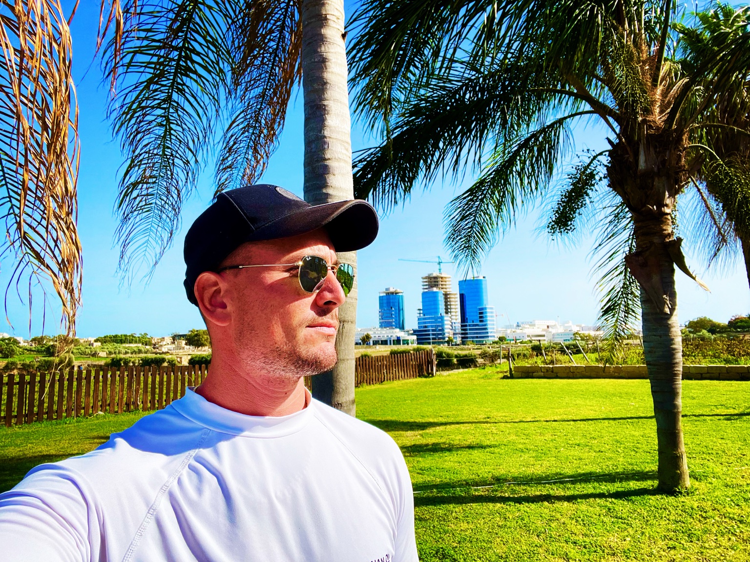
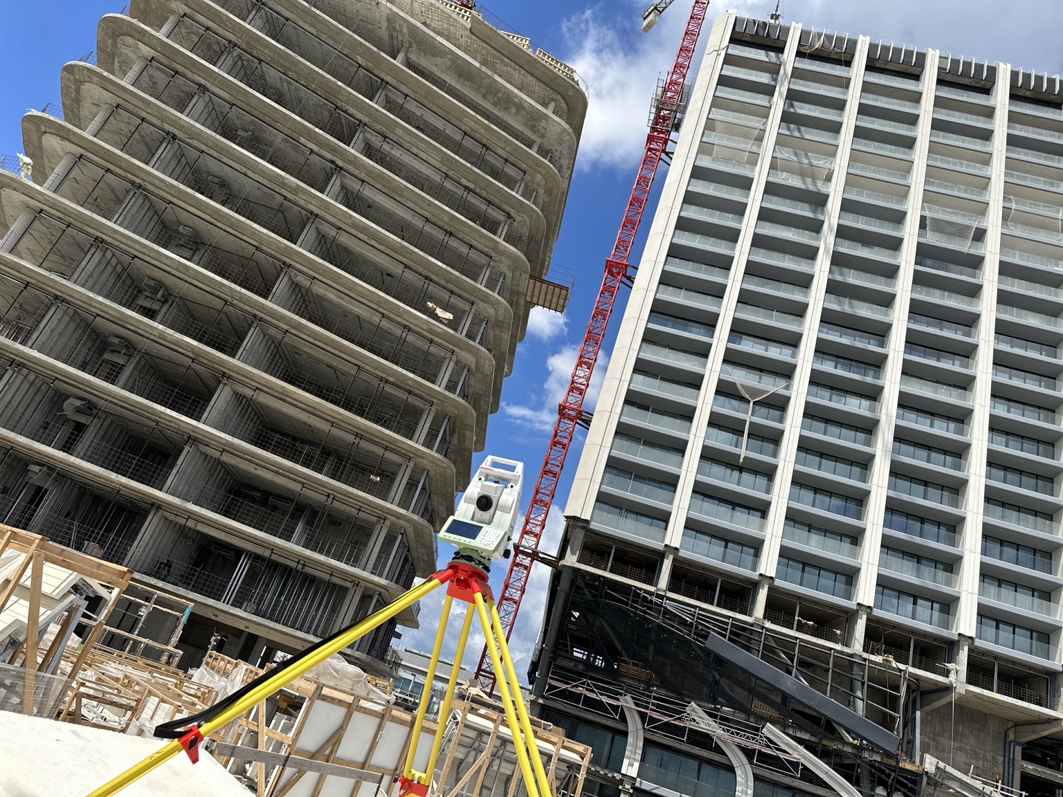
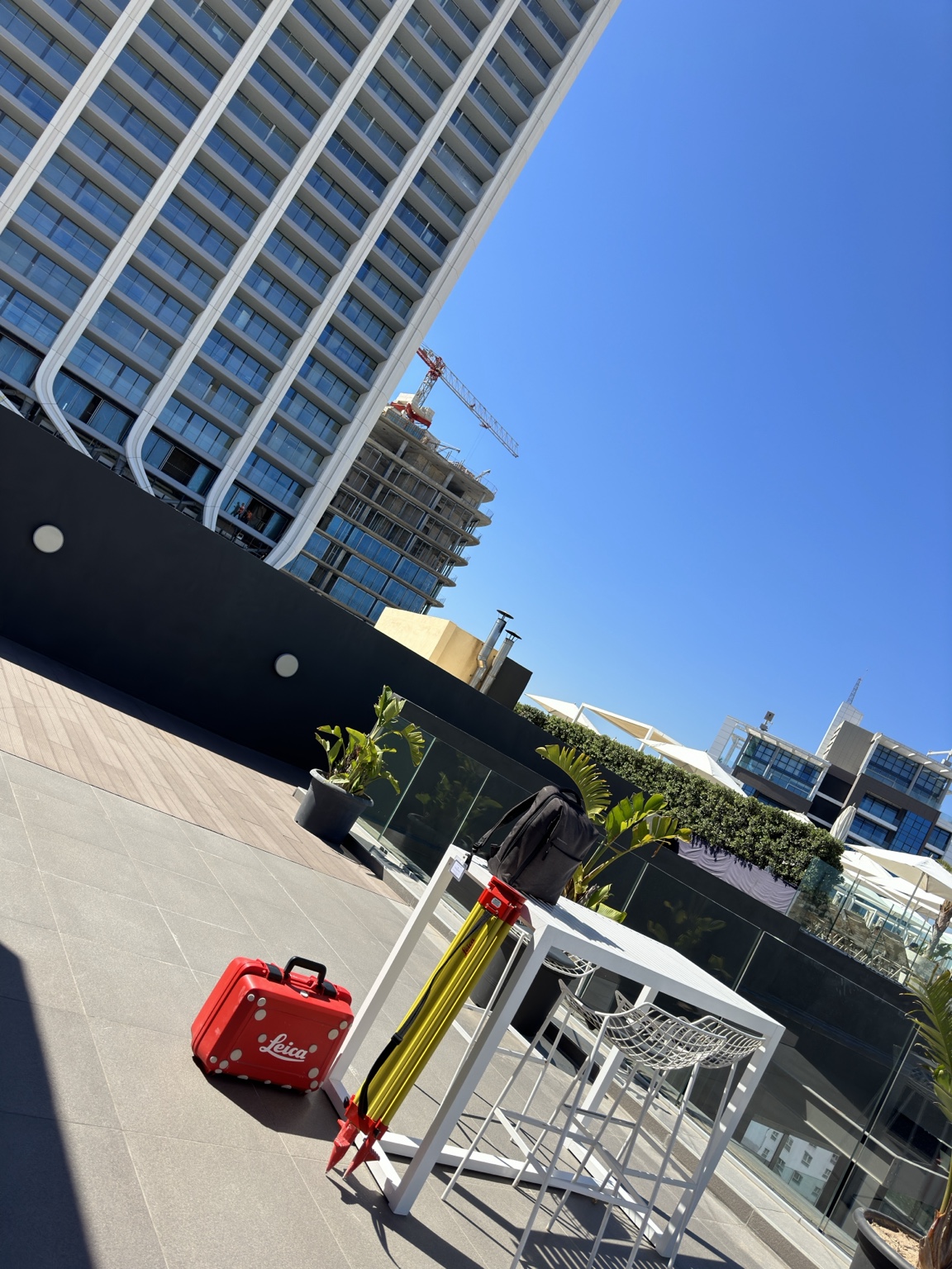
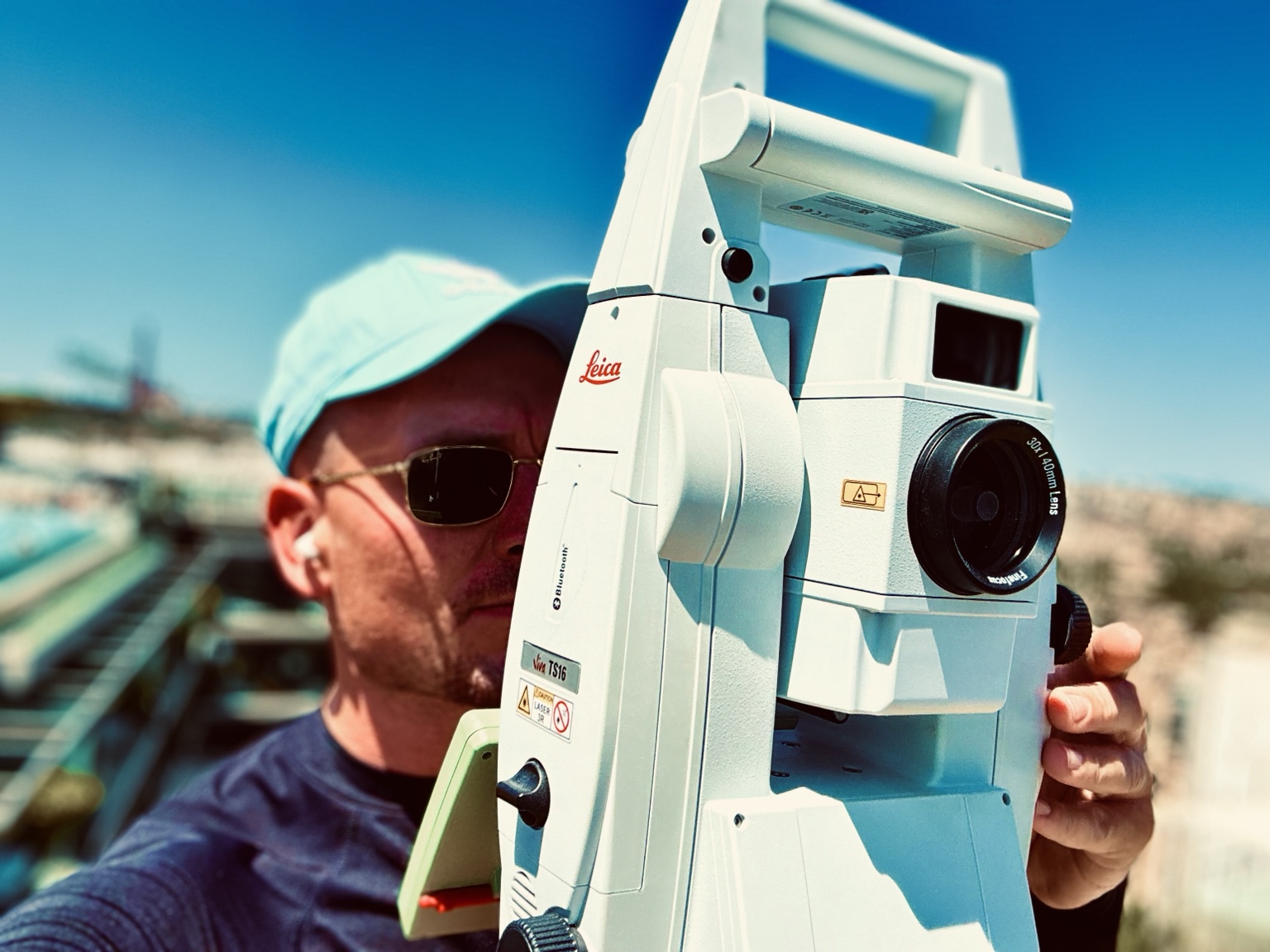
Field surveying, GNSS, total station work, 3D laser scanning, reality capture and completed project documentation.
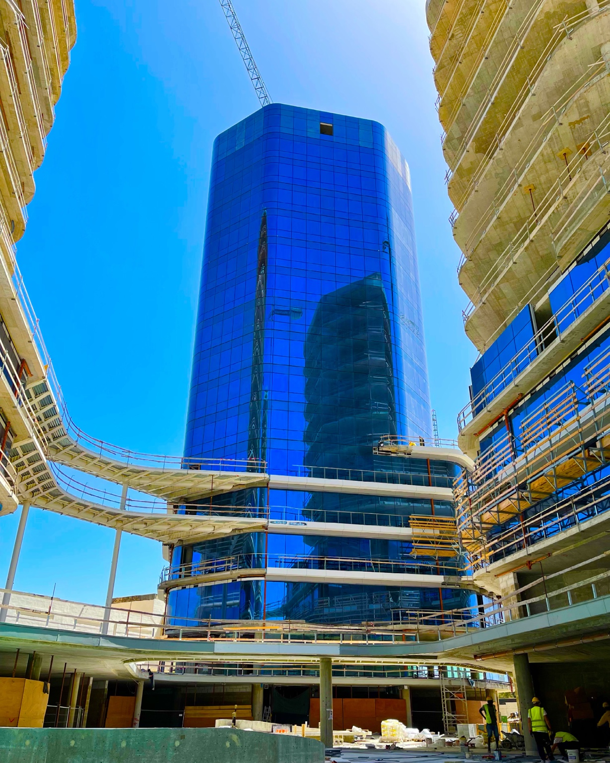
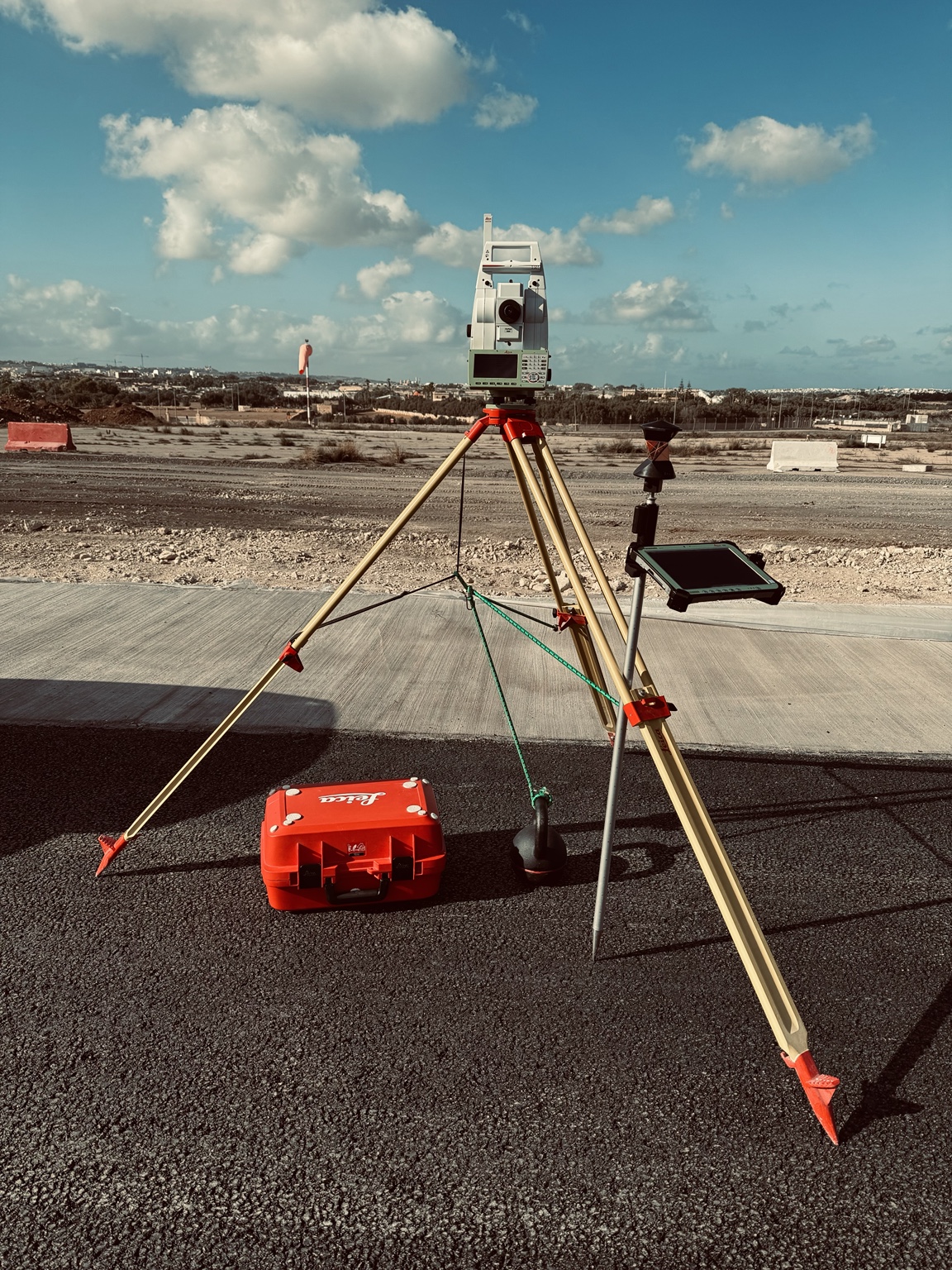
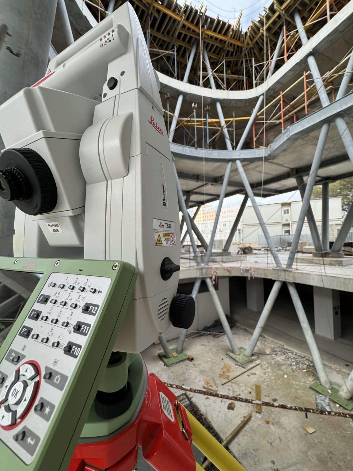
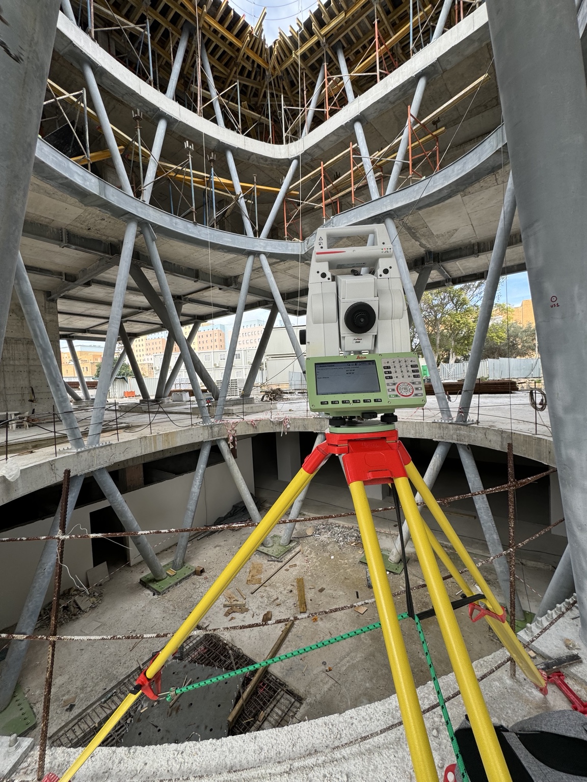
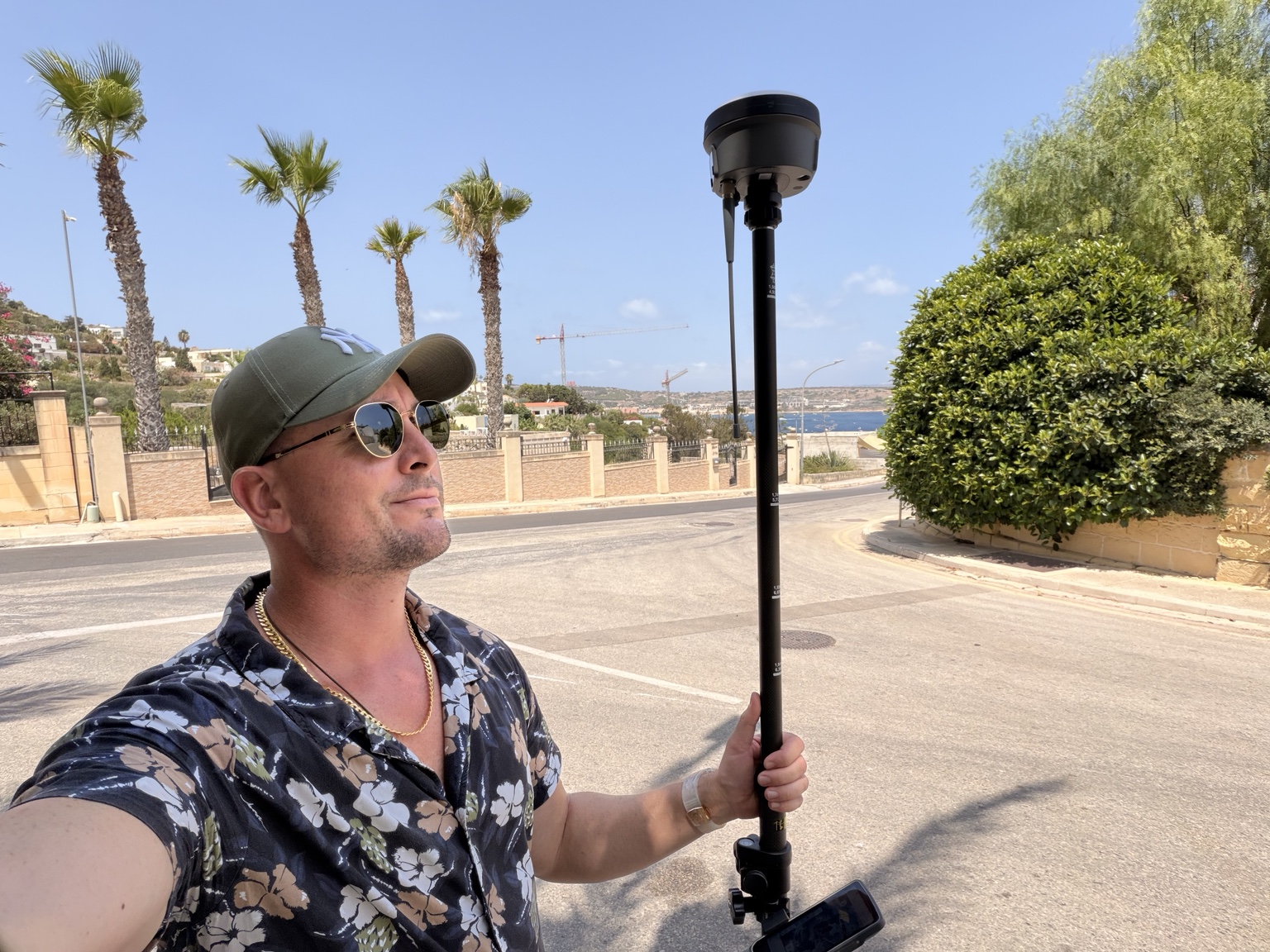
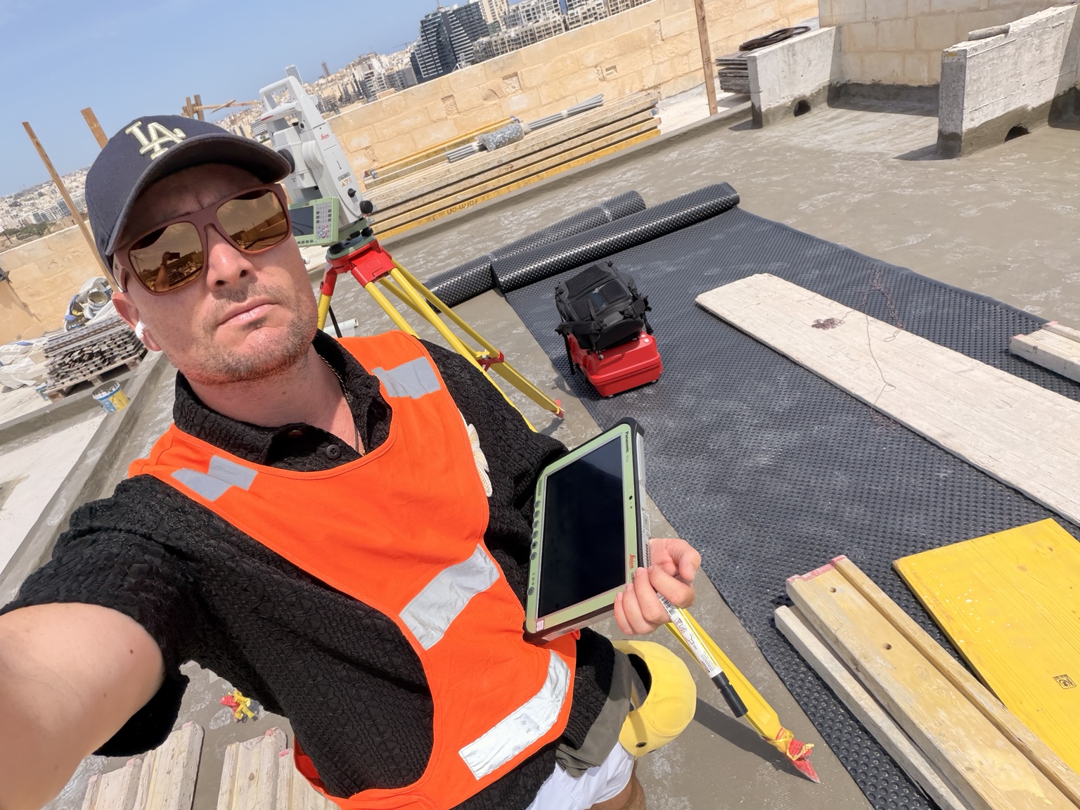
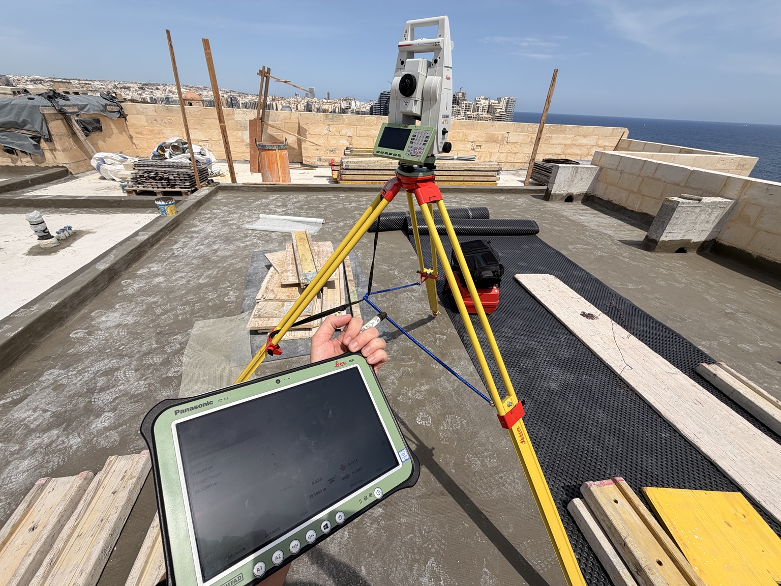
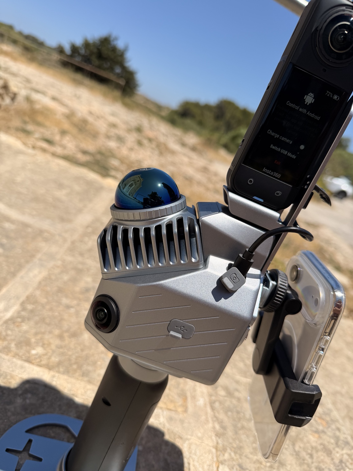
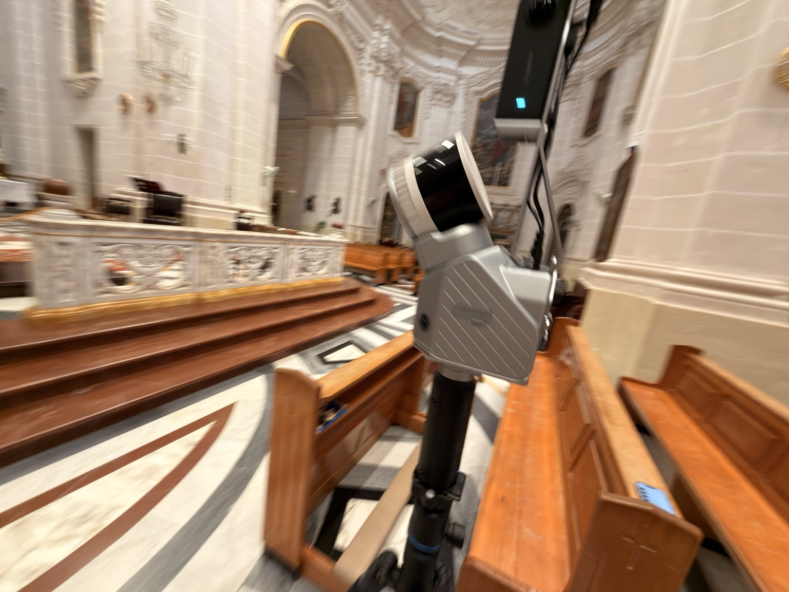
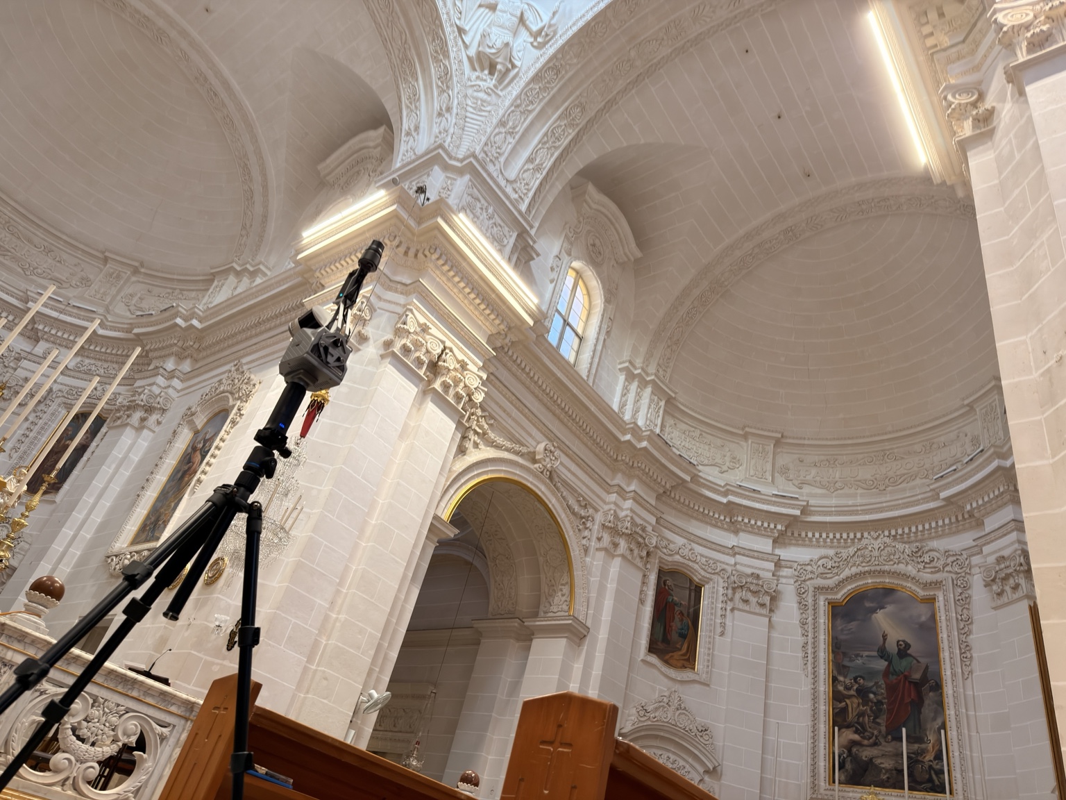
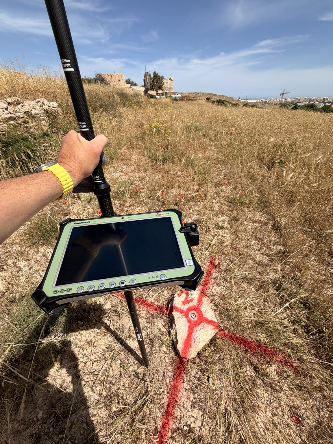
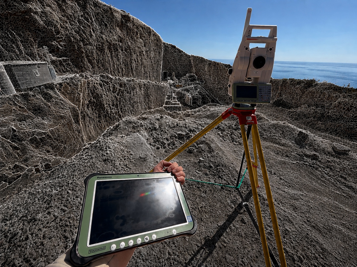
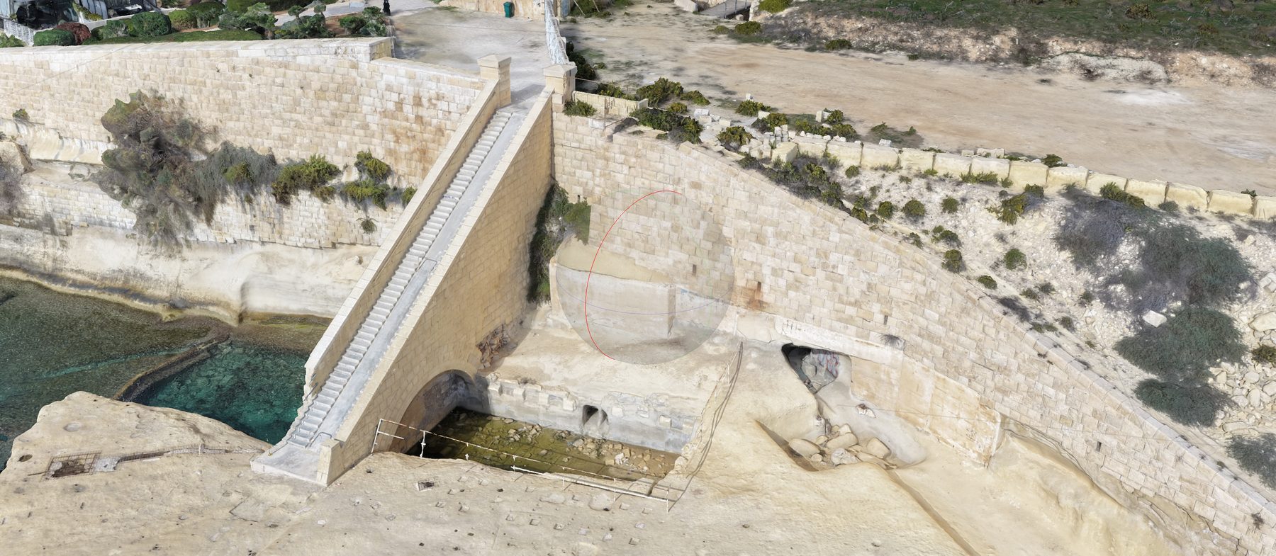
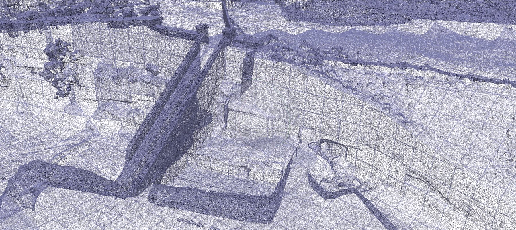
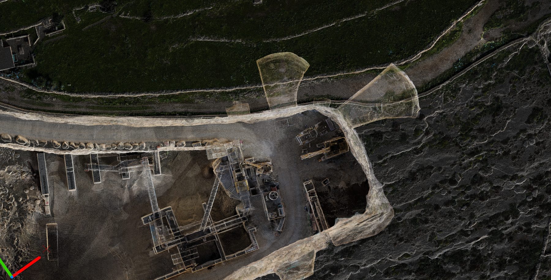
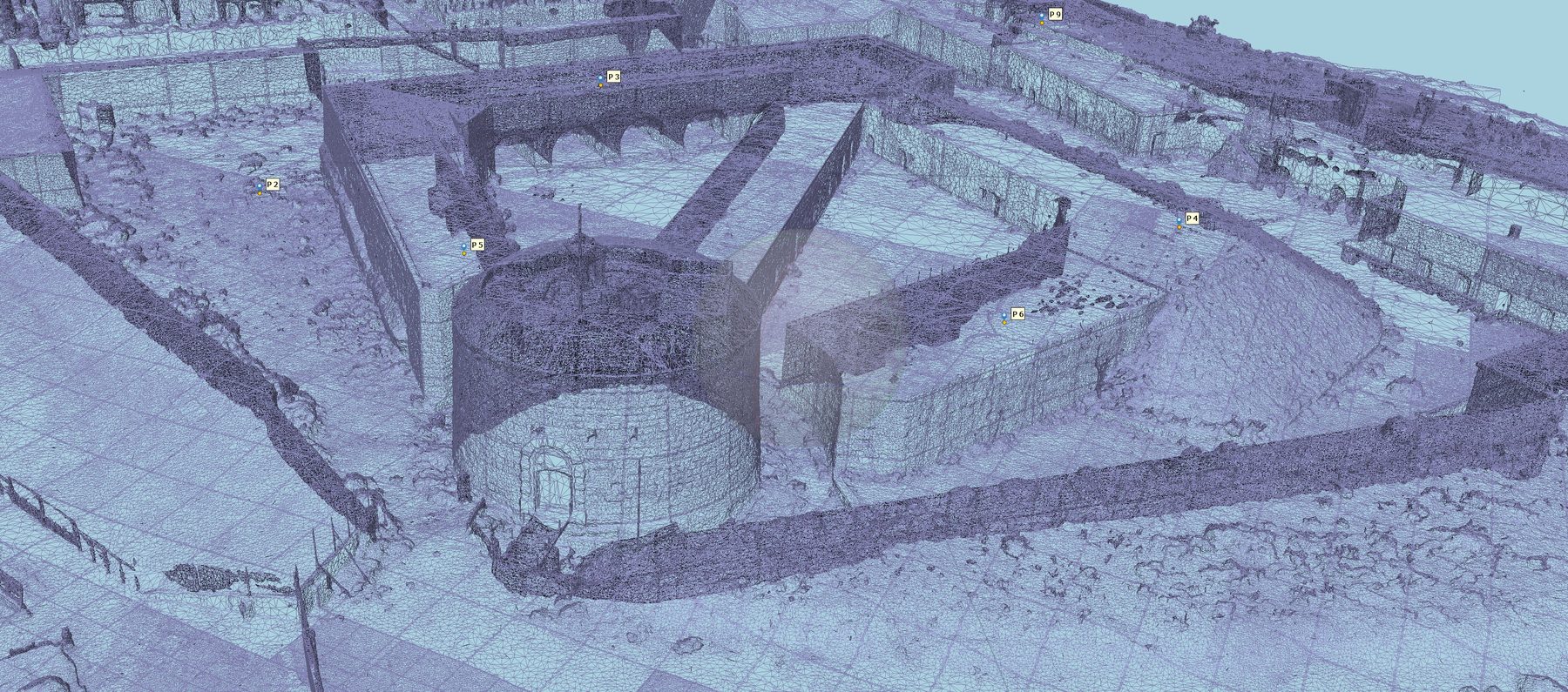
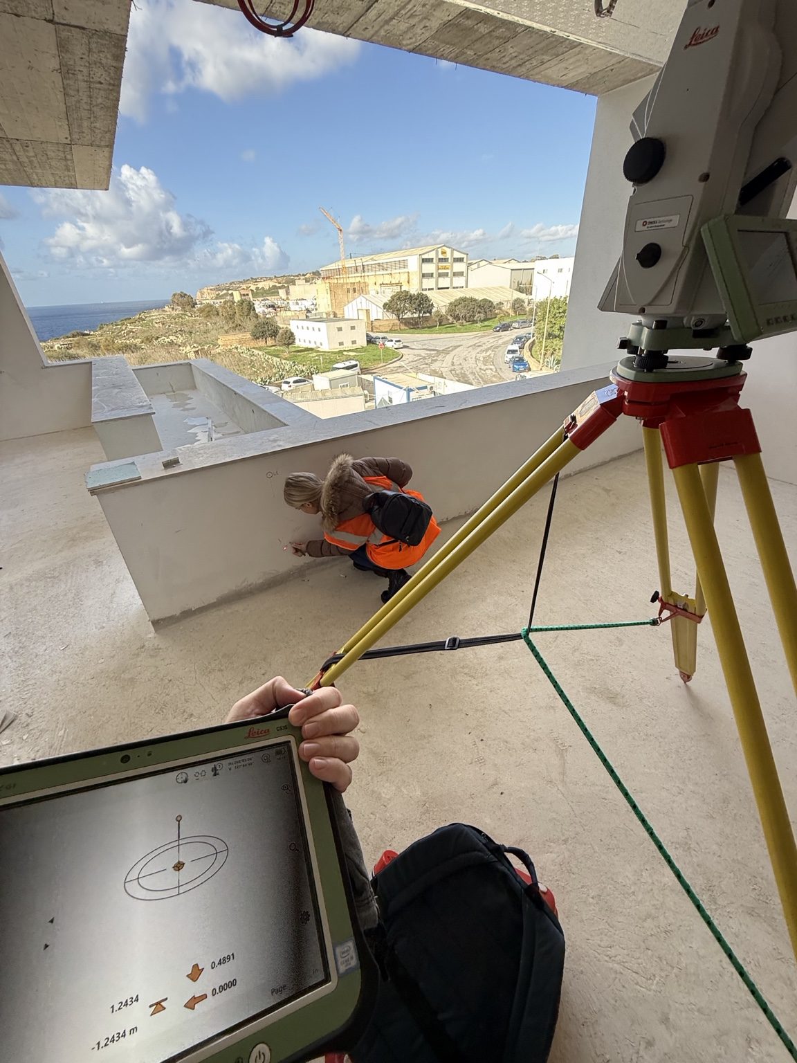
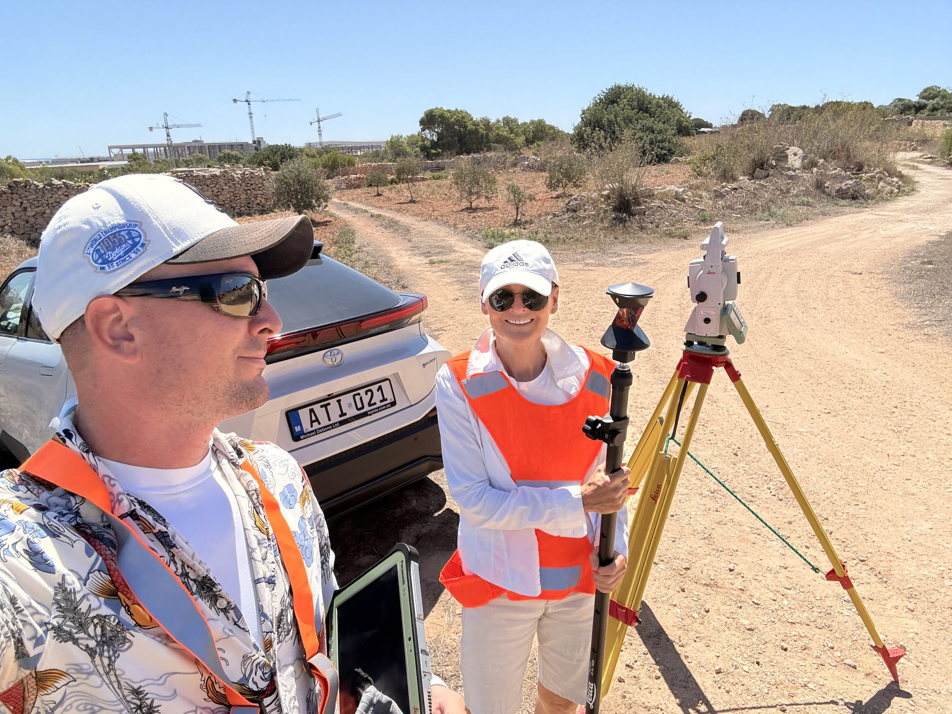
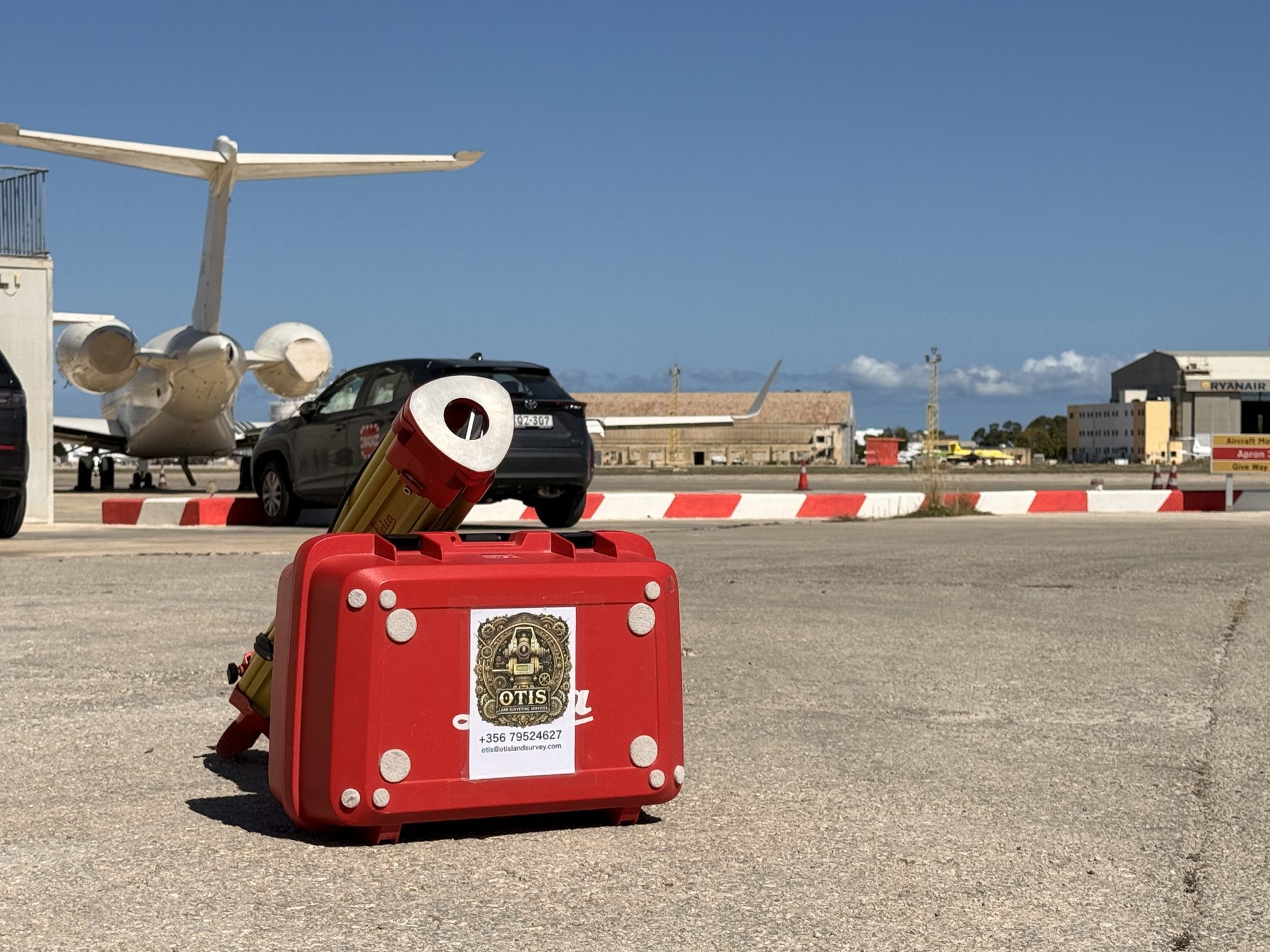
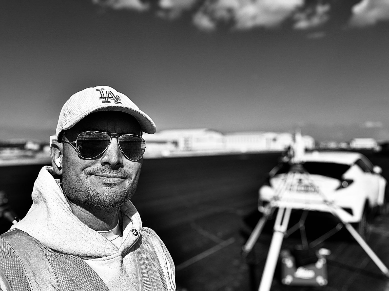
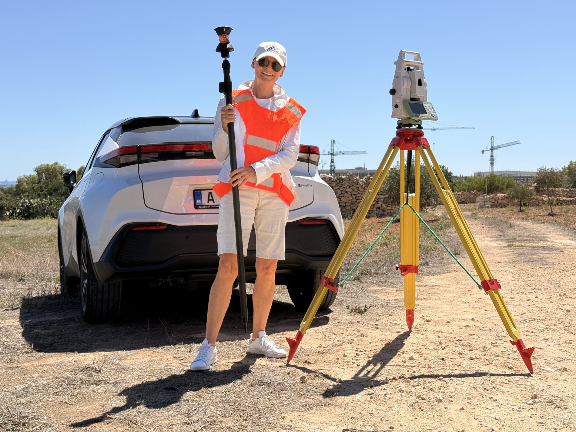
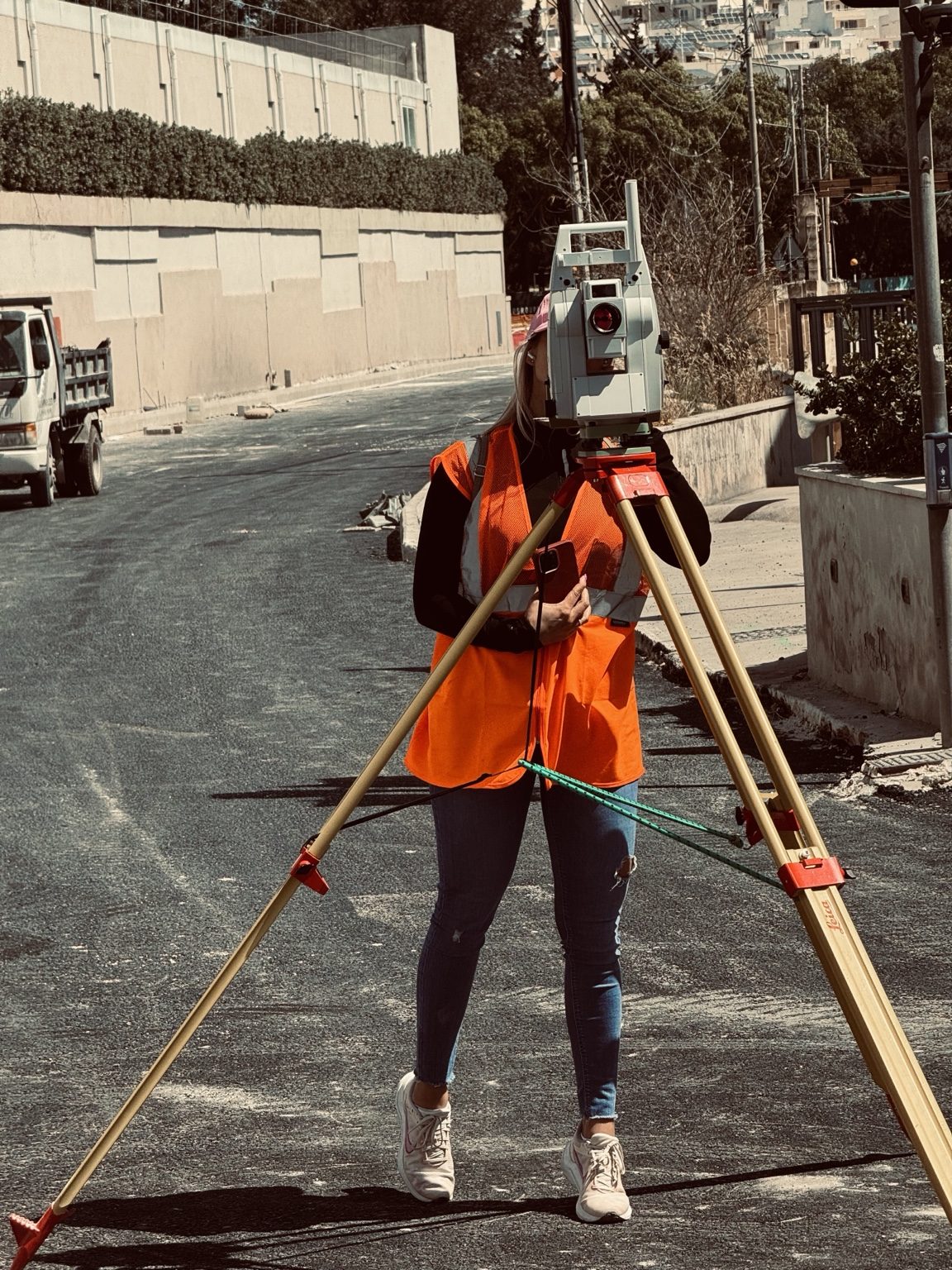
Selected fieldwork, surveying technology and project documentation videos.
Playable directly on this page. Open on YouTube
Playable directly on this page. Open on YouTube
Playable directly on this page. Open on YouTube
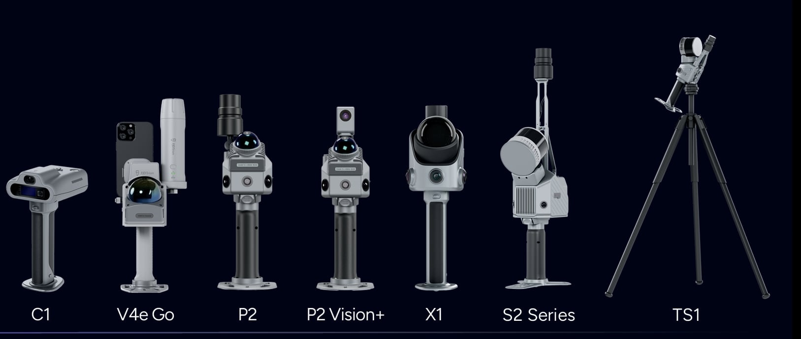
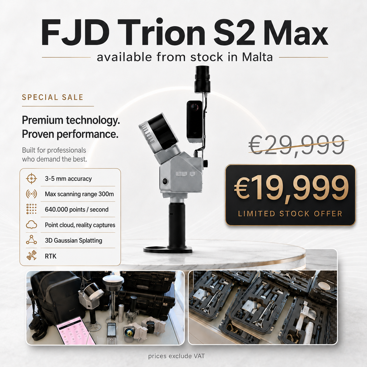
Celebration highlights, company milestones and upcoming events from Otis Land Surveying Services.
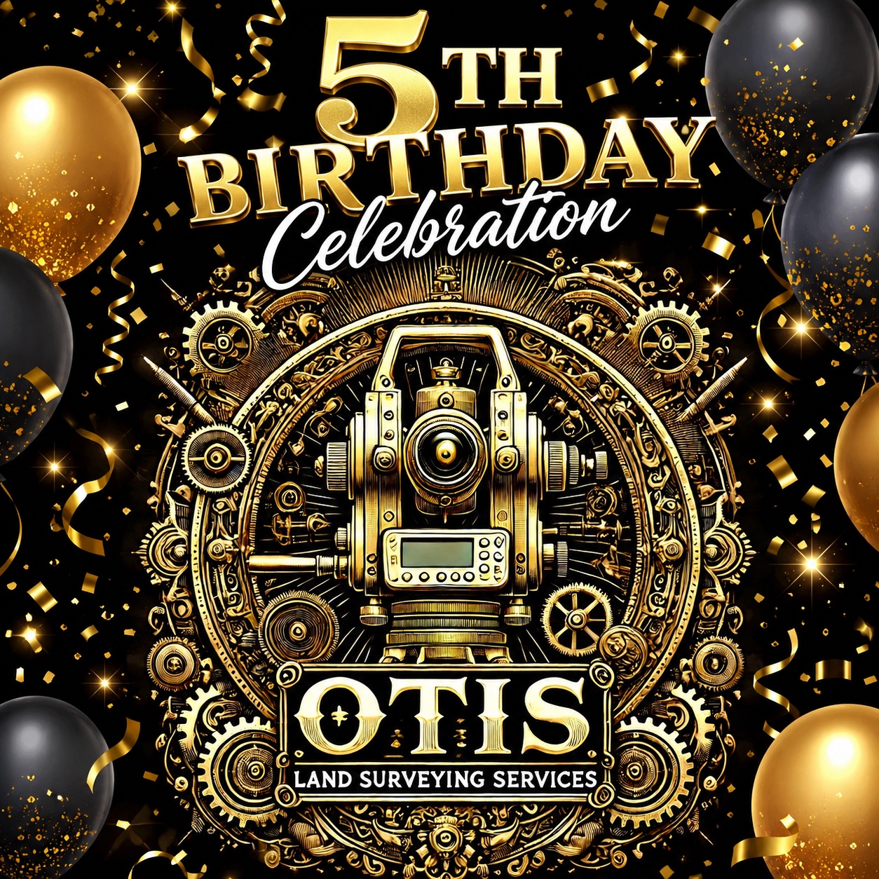
5 Years Jubileum
Celebrating five years of Otis Land Surveying Services — precision, technology, field experience and continued development in Malta.
Future company events, instrument demonstrations, product launches and surveying technology presentations will appear here.
For surveying, construction setting-out, drone mapping and 3D reality capture projects in Malta.
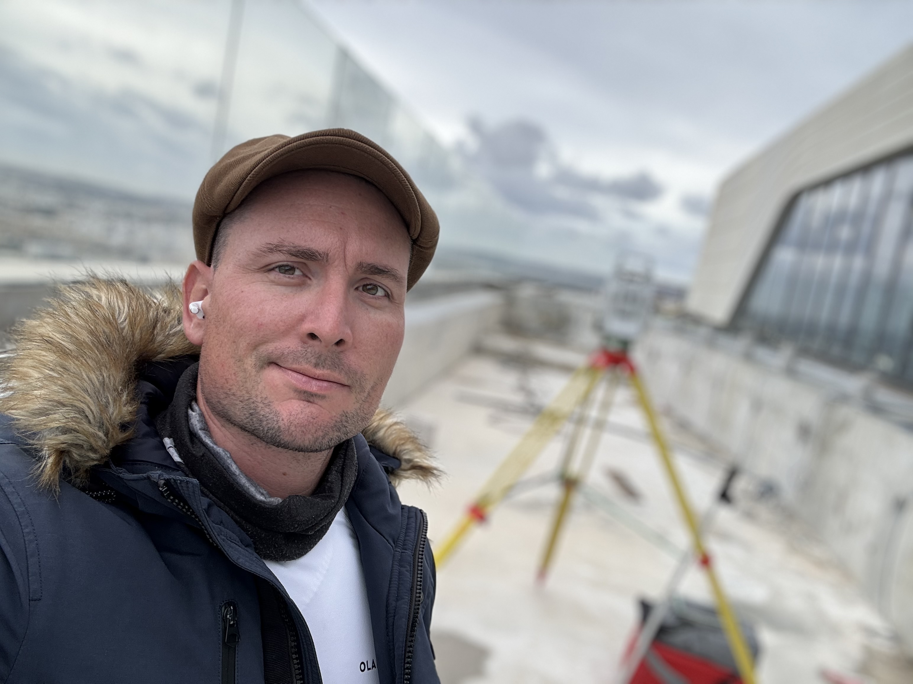
Founder and CEO
Otis Land Surveying Services
Direct business contact.
Business enquiries and project requests.
Official website.
Latest fieldwork, surveying projects, technology tests and updates.
Facebook Page ↗